| Author: | Doug Gelbert | ISBN: | 9781458090867 |
| Publisher: | Doug Gelbert | Publication: | March 2, 2011 |
| Imprint: | Smashwords Edition | Language: | English |
| Author: | Doug Gelbert |
| ISBN: | 9781458090867 |
| Publisher: | Doug Gelbert |
| Publication: | March 2, 2011 |
| Imprint: | Smashwords Edition |
| Language: | English |
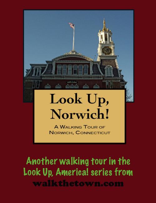
There is no better way to see America than on foot. And there is no better way to appreciate what you are looking at than with a walking tour. This walking tour of Norwich, Connecticut is ready to explore when you are. Each walking tour describes historical, architectural landmarks, cultural sites and ecclesiastic touchstones and provides step-by-step directions.
Every tour also includes a quick primer on identifying architectural styles seen on American streets.
Geography has always been a blessing and a curse in the history of Norwich. Norwichtown was founded in 1659 by settlers from Old Saybrook and a wharf was established on Yantic Cove to supply what became a farming community. But a better harbor was downstream at the head of the Thames River where Yantic and Shetucket rivers came together so a public landing was built there in 1694. Now isolated from their shipping dock it was now necessary to build roads to reach the young settlement. One, the East Road is today’s Broadway and another, the West Road, is Washignton Street today.
With access to a reliably deep waterway Norwich goods were soon flowing directly to England and the West Indies. When the Revolution came in the 1770s the town’s inland location enabled it to avoid the brunt of English retaliation suffered by the coastal towns. Norwich parlayed this circumstance into a burst of prosperity producing, among other goods, armaments. By the late 1820s and 1830s Norwich industry was in full swing. Steamboats chugged up and down the Thames and there was regular service to New York City. The railroad arrived early with the Norwich-Worcester Railroad building into town in 1832. But the inland location that had brought shelter proved a detriment as the more convenient coastal town attracted more of the industrial concerns over the next 100 years. Most of Norwich’s economic engine would eventually drift away. In the half-century after the Great Depression not even a dozen new buildings were constructed downtown.
The physical topography around Norwich also wielded the proverbial double-edge sword. Hills rise quickly from the rivers forcing the downtown to develop along crowded, crooked streets but the views from the impressive mansions that the wealthy built around the crests of those hills helped Norwich earn the sobriquet, “The Rose of New England.”
Our walking tour will explore the Chelsea District, the downtown that grew up around the public landing built on the Thames River more than 300 years ago and we’ll include a stroll up one of Norwich’s hills through a residential section of stately mansion and leafy streets. But first we’ll start down by the water where abandoned buildings have been cleared, open space has been developed and plentiful parking awaits...
