| Author: | Doug Gelbert | ISBN: | 9781458081865 |
| Publisher: | Doug Gelbert | Publication: | February 1, 2011 |
| Imprint: | Smashwords Edition | Language: | English |
| Author: | Doug Gelbert |
| ISBN: | 9781458081865 |
| Publisher: | Doug Gelbert |
| Publication: | February 1, 2011 |
| Imprint: | Smashwords Edition |
| Language: | English |
There is no better way to see America than on foot. And there is no better way to appreciate what you are looking at than with a walking tour. Whether you are preparing for a road trip or just out to look at your own town in a new way, a downloadable walking tour is ready to explore when you are.
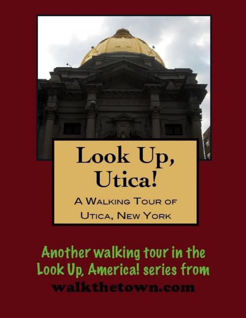
Each walking tour describes historical and architectural landmarks and provides pictures to help out when those pesky street addresses are missing. Every tour also includes a quick primer on identifying architectural styles seen on American streets.
Utica’s existence has always been tied to transportation, and not because the town lies only 20 miles east of the geographic center of New York state. It was at this point that early travelers could best ford the Mohawk River for miles in either direction. The land was part of a grant of 22,000 acres made by George II of England to William Cosby, governor of the Province of New York in 1734. During the French and Indian War in 1758 the British erected Fort Schuyler near the ford but it was never garrisoned and abandoned after the war. Despite its advantageous location the swampy environs delayed settlement beyond a few traders until the early days of the Republic.
A bridge was constructed across the Mohawk River in 1792 and stagecoaches were running from Albany the next year. One of the first to take advantage of the increased traffic was Moses Bagg who shod horses from his blacksmith shop and operated a much-frequented tavern. Utica’s main streets came to radiate away from Baggs’ little fiefdom and Bagg’s Square would be a focal point of city life for the better part of 200 years until it was obliterated by modern access roads.
No one prospered more from transportation in Utica than John Butterfield, who left his family farm in Berne, New York to come to the nascent village of Utica as a mail carrier. A single trip in a one-horse wagon each week was enough to supply all the demands of the inhabitants. At length with the accumulations of his small earnings, he purchased the right to carry the mail on his own account and was soon able to open a small livery stable and provide a stage service. After the Erie Canal was completed in 1825 Butterfield would move into packet boats and become an early investor in the railroads. In 1850, Butterfield convinced Henry Wells and William Fargo to consolidate their express companies with his own Butterfield & Wasson Company to form the American Express Company, which Butterfield then directed. Butterfield lived at #30 Whitesboro Street, was elected mayor in 1865 and died after a stroke in 1869 at the age of 68.
Meanwhile the textile industry that was to become the backbone of Utica’s economy began with the opening of woolen mills in 1847 and cotton mills the following year. But there was also locomotive headlights and firearms and beer and fishing tackle all being produced and shipped from Utica plants. The population would peak at over 100,000 in the 1930s and 1940s when the Utica freight yards were the largest in America east of the Mississippi River.
The early settlement lay wholly south of the Mohawk River, chiefly upon one street, called Main, running parallel with the river. Our walking tour will focus on the Lower Genesee Street Historic District that is the oldest part of the city of Utica as it inched away from the river. Despite extensive alterations and demolition buildings can be found that date to Utica’s charter as a city in 1832. But first we’ll start at one of those replacement buildings, where decisions affecting the fate of Genessee Street are hatched...
