| Author: | Keith Stelter | ISBN: | 9780762774845 |
| Publisher: | Falcon Guides | Publication: | March 1, 2011 |
| Imprint: | Falcon Guides | Language: | English |
| Author: | Keith Stelter |
| ISBN: | 9780762774845 |
| Publisher: | Falcon Guides |
| Publication: | March 1, 2011 |
| Imprint: | Falcon Guides |
| Language: | English |
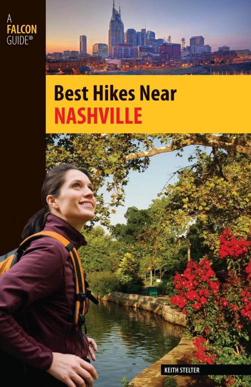
Here are thirty-six of the best hikes within an hour’s drive of metropolitan Nashville that explore a variety of natural areas in Antioch, Burns, Clarksville, Franklin, Brentwood, Hermitage, Murfreesboro, and Lebanon. Whether you’re in the mood for an easy nature walk, a day hike, or a longer trek, this guide offers plenty to choose from—including Long Hunter State Park, Cedars of Lebanon State Park, Barfield Crescent Park, and Old Stone Fort State Archaeological Park.
Each hike features:
• Full-color photos
• A brief route description
• Thorough directions to the trailhead (GPS coordinates included)
• A trail map
• At-a-glance information on distance and difficulty level, hiking time, canine compatibility, and fees and
permits
Inside you’ll also find Green Tips and information about local lore, points of interest, and the area’s array of wildlife.