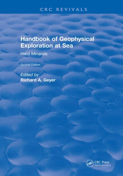
Handbook of Geophysical Exploration at Sea
2nd Editions - Hard Minerals
Nonfiction, Science & Nature, Science, Earth Sciences, Geophysics| Author: | Richard A. Geyer | ISBN: | 9781351089517 |
| Publisher: | CRC Press | Publication: | February 6, 2018 |
| Imprint: | CRC Press | Language: | English |
| Author: | Richard A. Geyer |
| ISBN: | 9781351089517 |
| Publisher: | CRC Press |
| Publication: | February 6, 2018 |
| Imprint: | CRC Press |
| Language: | English |
This handbook presents advanced research and operational information about hard minerals and hydrocarbons. It provides information in an integrated, interdisciplinary manner, stressing case histories. It includes review chapters, illustrations, graphs, tables, and color satellite images that present the results of gravity, geodetic, and seismic surveys and of 3-D sea floor sub-bottom visualizations. The data was obtained using satellites, aircraft, and ships from the Atlantic and Pacific Oceans, the Gulf of Mexico, and the Caribbean Sea.Major topics addressed in these volumes include geophysical methods used to explore for hydrocarbons, advanced radiometric and electrical methods for hard mineral searches, the role of geotechnology and seismic acoustics in overcoming geological hazards in selecting drilling sites and pipeline routes, and remote sensing techniques used to determine the physical properties of hydrocarbons.
This handbook presents advanced research and operational information about hard minerals and hydrocarbons. It provides information in an integrated, interdisciplinary manner, stressing case histories. It includes review chapters, illustrations, graphs, tables, and color satellite images that present the results of gravity, geodetic, and seismic surveys and of 3-D sea floor sub-bottom visualizations. The data was obtained using satellites, aircraft, and ships from the Atlantic and Pacific Oceans, the Gulf of Mexico, and the Caribbean Sea.Major topics addressed in these volumes include geophysical methods used to explore for hydrocarbons, advanced radiometric and electrical methods for hard mineral searches, the role of geotechnology and seismic acoustics in overcoming geological hazards in selecting drilling sites and pipeline routes, and remote sensing techniques used to determine the physical properties of hydrocarbons.
