Instructional Guide for The ArcGIS Book
Nonfiction, Science & Nature, Technology, Fracture Mechanics, Reference & Language, Education & Teaching, Teaching, Computers & Technology| Author: | Kathryn Keranen, Malone | ISBN: | 9781589484719 |
| Publisher: | Esri Press | Publication: | June 21, 2016 |
| Imprint: | Esri Press | Language: | English |
| Author: | Kathryn Keranen, Malone |
| ISBN: | 9781589484719 |
| Publisher: | Esri Press |
| Publication: | June 21, 2016 |
| Imprint: | Esri Press |
| Language: | English |
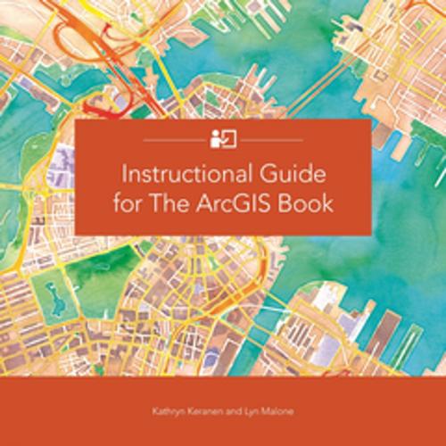
This companion textbook to The ArcGIS Book: 10 Big Ideas about Applying Geography to Your World (Esri Press, 2015) builds on the foundational concepts laid out in The ArcGIS Book. Whether you are a self-learner, currently teaching, or are planning to teach GIS, this guide provides the materials to develop and apply ArcGIS tools and concepts. Using The ArcGIS Book’s structure as a starting point, each chapter provides students and teachers with activities, resources, lessons and data that reflect the interaction between components of ArcGIS Online, as well as GIS applications for publishing to the web and mobile devices. A combination of scenario driven and skill-based lessons (including many that don't require downloading any software), not only offer practice in the use of these tools but also inspire a deeper understanding of the potential and power of Web GIS. Includes downloadable instructor resources.
This companion textbook to The ArcGIS Book: 10 Big Ideas about Applying Geography to Your World (Esri Press, 2015) builds on the foundational concepts laid out in The ArcGIS Book. Whether you are a self-learner, currently teaching, or are planning to teach GIS, this guide provides the materials to develop and apply ArcGIS tools and concepts. Using The ArcGIS Book’s structure as a starting point, each chapter provides students and teachers with activities, resources, lessons and data that reflect the interaction between components of ArcGIS Online, as well as GIS applications for publishing to the web and mobile devices. A combination of scenario driven and skill-based lessons (including many that don't require downloading any software), not only offer practice in the use of these tools but also inspire a deeper understanding of the potential and power of Web GIS. Includes downloadable instructor resources.
