Integrating Scale in Remote Sensing and GIS
Nonfiction, Science & Nature, Technology, Imaging Systems, Remote Sensing, Environmental| Author: | ISBN: | 9781315356259 | |
| Publisher: | CRC Press | Publication: | January 6, 2017 |
| Imprint: | CRC Press | Language: | English |
| Author: | |
| ISBN: | 9781315356259 |
| Publisher: | CRC Press |
| Publication: | January 6, 2017 |
| Imprint: | CRC Press |
| Language: | English |
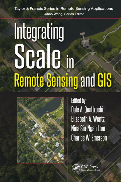
Integrating Scale in Remote Sensing and GIS serves as the most comprehensive documentation of the scientific and methodological advances that have taken place in integrating scale and remote sensing data. This work addresses the invariants of scale, the ability to change scale, measures of the impact of scale, scale as a parameter in process models, and the implementation of multiscale approaches as methods and techniques for integrating multiple kinds of remote sensing data collected at varying spatial, temporal, and radiometric scales. Researchers, instructors, and students alike will benefit from a guide that has been pragmatically divided into four thematic groups: scale issues and multiple scaling; physical scale as applied to natural resources; urban scale; and human health/social scale. Teeming with insights that elucidate the significance of scale as a foundation for geographic analysis, this book is a vital resource to those seriously involved in the field of GIScience.
Integrating Scale in Remote Sensing and GIS serves as the most comprehensive documentation of the scientific and methodological advances that have taken place in integrating scale and remote sensing data. This work addresses the invariants of scale, the ability to change scale, measures of the impact of scale, scale as a parameter in process models, and the implementation of multiscale approaches as methods and techniques for integrating multiple kinds of remote sensing data collected at varying spatial, temporal, and radiometric scales. Researchers, instructors, and students alike will benefit from a guide that has been pragmatically divided into four thematic groups: scale issues and multiple scaling; physical scale as applied to natural resources; urban scale; and human health/social scale. Teeming with insights that elucidate the significance of scale as a foundation for geographic analysis, this book is a vital resource to those seriously involved in the field of GIScience.


