| Author: | Ronald Turnbull | ISBN: | 9781849659055 |
| Publisher: | Cicerone Press | Publication: | August 7, 2013 |
| Imprint: | Cicerone Press | Language: | English |
| Author: | Ronald Turnbull |
| ISBN: | 9781849659055 |
| Publisher: | Cicerone Press |
| Publication: | August 7, 2013 |
| Imprint: | Cicerone Press |
| Language: | English |
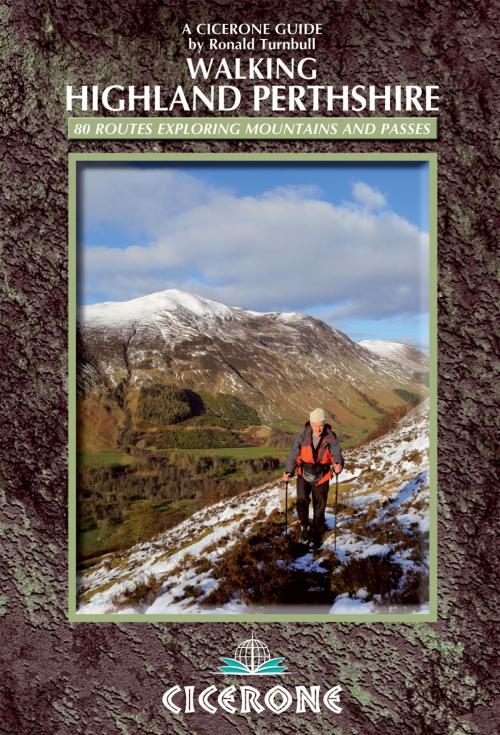
This walking guidebook to Highland Perthshire has over 80 graded routes which explore the ridges, plateaus, glens and woodland of Scotland's Southern Highlands. The mountains, or 'grassy green giants' include the 42 Munros, including Ben Lawers and Ben Adler, as well as 22 selected Corbetts, 15 smaller summits and the historic Atholl passes of Gaick and Minigaig - all within easy reach of Perth. Routes are grouped into ten geographical areas: Comrie and Crieff, Killin and Glen Lochay, Glen Lyon, Bridge of Orchy, Perth and Dunkeld, Aberfeldy, Tummel and Loch Rannoch, Rannoch Moor, Pitlochry and Blair Atholl and Drumochter. A combination of 1:50,000 and 1:100,000 mapping is included as appropriate along with a selection of inspiring photographs. Information about places of interest along the way, as well as wildlife, geology and history are included, as are practical details on the deer stalking season, when to go, and getting around Highland Perthshire are also included.
This walking guidebook to Highland Perthshire has over 80 graded routes which explore the ridges, plateaus, glens and woodland of Scotland's Southern Highlands. The mountains, or 'grassy green giants' include the 42 Munros, including Ben Lawers and Ben Adler, as well as 22 selected Corbetts, 15 smaller summits and the historic Atholl passes of Gaick and Minigaig - all within easy reach of Perth. Routes are grouped into ten geographical areas: Comrie and Crieff, Killin and Glen Lochay, Glen Lyon, Bridge of Orchy, Perth and Dunkeld, Aberfeldy, Tummel and Loch Rannoch, Rannoch Moor, Pitlochry and Blair Atholl and Drumochter. A combination of 1:50,000 and 1:100,000 mapping is included as appropriate along with a selection of inspiring photographs. Information about places of interest along the way, as well as wildlife, geology and history are included, as are practical details on the deer stalking season, when to go, and getting around Highland Perthshire are also included.
