| Author: | Fred Touche | ISBN: | 9780973252743 |
| Publisher: | Touche Publishing | Publication: | September 28, 2005 |
| Imprint: | Touche Publishing | Language: | English |
| Author: | Fred Touche |
| ISBN: | 9780973252743 |
| Publisher: | Touche Publishing |
| Publication: | September 28, 2005 |
| Imprint: | Touche Publishing |
| Language: | English |
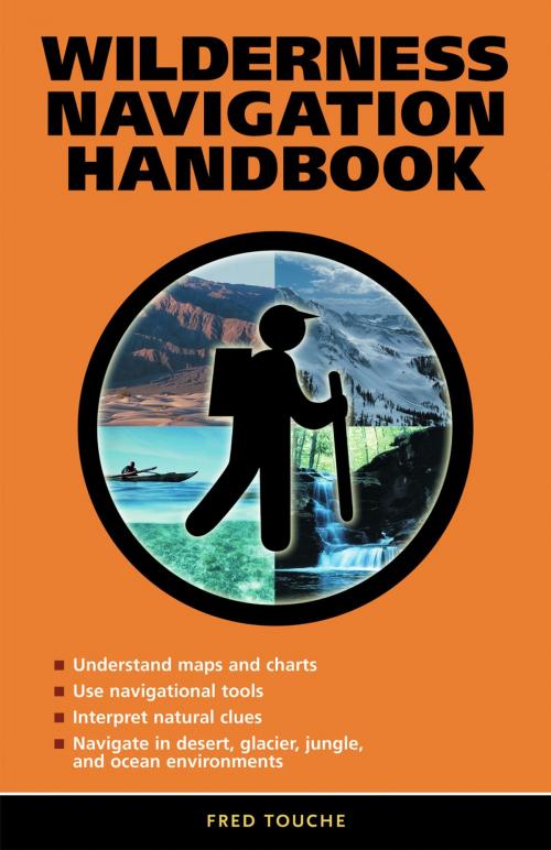
Designed for both land and water use, this comprehensive guide helps unlock the complexity of map and chart reading as it relates to navigation. Beginning with detailed technical descriptions of the tools of navigation—a compass, an altimeter, a GPS system, and a sextant—this handbook shows how to use these tools either individually or in combination with each other to navigate any area. Factors that cause tools and techniques to fail are discussed, such as why an altimeter often shows the wrong elevation, a GPS position is sometimes off track, and the sun often points in an unexpected direction. Twenty-one real-life scenarios provide practical wisdom for even the most intrepid navigator. Specific information on using the moon for directions and the stars for position, measuring boiling water temperature for elevation, map projections, map datums, great circle routes, and the UTM/UPS grid system is included.
Designed for both land and water use, this comprehensive guide helps unlock the complexity of map and chart reading as it relates to navigation. Beginning with detailed technical descriptions of the tools of navigation—a compass, an altimeter, a GPS system, and a sextant—this handbook shows how to use these tools either individually or in combination with each other to navigate any area. Factors that cause tools and techniques to fail are discussed, such as why an altimeter often shows the wrong elevation, a GPS position is sometimes off track, and the sun often points in an unexpected direction. Twenty-one real-life scenarios provide practical wisdom for even the most intrepid navigator. Specific information on using the moon for directions and the stars for position, measuring boiling water temperature for elevation, map projections, map datums, great circle routes, and the UTM/UPS grid system is included.