| Author: | Doug Gelbert | ISBN: | 9781458091987 |
| Publisher: | Doug Gelbert | Publication: | March 2, 2011 |
| Imprint: | Smashwords Edition | Language: | English |
| Author: | Doug Gelbert |
| ISBN: | 9781458091987 |
| Publisher: | Doug Gelbert |
| Publication: | March 2, 2011 |
| Imprint: | Smashwords Edition |
| Language: | English |
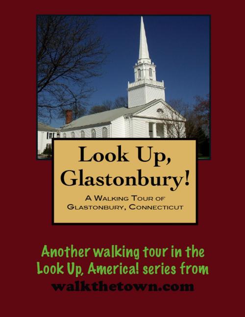
There is no better way to see America than on foot. And there is no better way to appreciate what you are looking at than with a walking tour. This walking tour of Glastonbury, Connecticut is ready to explore when you are. Each walking tour describes historical, architectural landmarks, cultural sites and ecclesiastic touchstones and provides step-by-step directions. Every tour also includes a quick primer on identifying architectural styles seen on American streets.
Glastonbury is said to possess more pre-1800 Colonial houses than any other town in Connecticut. The area on the east bank of the Connecticut River was settled early, as part of the Town of Wetherfield. In fact in 1695 the “Glistening Town” became the first town in the state to be creating by splitting away from an existing town. The first division of land was in narrow strips of land running three miles eastward from the river to provide each owner an assortment of the the several qualities of the land rather than favor a few with the best land.
From the start there were two town centers, known today as Glastonbury and South Glastonbury. The first house was in South Glastonbury, the first meeting house in Glastonbury. The town was a typical Connecticut river town in its early days; the water provided power for mills and supported an energetic shipbuilding trade. Most of the economy was pegged to the crops that were grown nearby, tobacco for export and foodstuffs for local trade. Modest industries took hold - textiles and metalworking and tanneries.
And then.
The railroad failed to come. Development no longer continued to grow apace in Glastonbury. It evolved into a residential suburb of Hartford. There was no need to replace all that housing stock from the 1700s with bigger and more modern buildings.
Glastonbury’s Main Street initially was an Indian trail running from East Hartford south along the east bank of the Connecticut River, eventually leading to the mouth of the Thames River on Long Island Sound. It was adopted as a town street in the last decade of the 17th century and has been maintained for three centuries. Its layout has not been compromised; the wide thoroughfare is flanked by grassy strips and sidewalks from which the houses are comfortably set back. There are no parking spaces for cars along the street to intrude on its centuries-old feel. Our walking tour will begin at the edge of encroaching suburbia and quickly disappear into a leafy streetscape of Dutch and English Colonial architecture...
