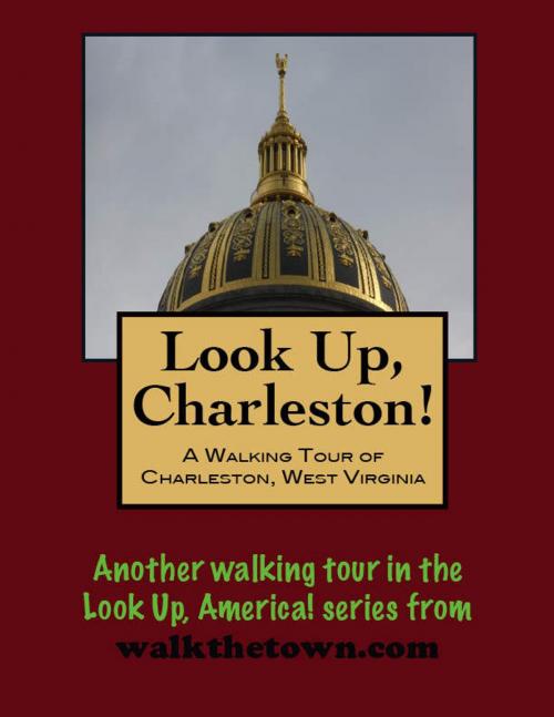
Look Up, Charleston! A Walking Tour of Charleston, West Virginia
Nonfiction, History, Americas, United States, State & Local, Travel, South| Author: | Doug Gelbert | ISBN: | 9781476010403 |
| Publisher: | Doug Gelbert | Publication: | April 4, 2012 |
| Imprint: | Smashwords Edition | Language: | English |
| Author: | Doug Gelbert |
| ISBN: | 9781476010403 |
| Publisher: | Doug Gelbert |
| Publication: | April 4, 2012 |
| Imprint: | Smashwords Edition |
| Language: | English |
There is no better way to see America than on foot. And there is no better way to appreciate what you are looking at than with a walking tour. Whether you are preparing for a road trip or just out to look at your own town in a new way, a downloadable walking tour from walkthetown.com is ready to explore when you are.
Each walking tour describes historical and architectural landmarks and provides pictures to help out when those pesky street addresses are missing. Every tour also includes a quick primer on identifying architectural styles seen on American streets.
Settlers arrived in the Kanawha Valley before the American revolution but about the only thing that came from it during the 18th century was the name "Charleston" from the father of Colonel George Clendenin who constructed the first permanent settlement, Fort Lee, in 1787. By 1800 the village boasted a population of only about 65 living in twelve houses.
But in the early 19th century, however, salt brines were discovered along the Kanawha River and the first salt well was drilled in 1806. Over the next few decades salt production would rise to over three million barrels per year. It took a lot of sawmills to cut all that wood for the barrels and the flatboats needed to ship the salt and Charleston experienced its first boom. Many of the town streets today bear the names of the early 19th century salt kings: Dickinson, Shrewbury, Ruffner, Brooks and more.
Still, there were fewer than 4,000 people in Charleston when influential Democratic politicians engineered the transfer of the state capital from Wheeling to Charleston in 1870. Wheeling wrested the government back in 1875 but after a statewide referendum the capital was back in Charleston for good in 1885. By this time the railroad had arrived in town and Charleston was serving as a mercantile and banking center for the rich bituminous coalfields being opened in the southern part of the state. With its political and financial bases firmly established, Charleston's population galloped forward for the next 75 years, not even slowed by the Great Depression. The population topped out at 85,000 in the 1960s and although it has dipped back to pre-Depression era levels, Charleston remains the largest city in West Virginia.
Charleston's boom from 1885 to 1960 resulted in buildings of nearly all of the popular architectural styles from that time, many of which are still extant. Our walking tour of "the most northern city of the South and the most southern city of the North" will begin in a similar place of transition, where the grand Victorian state capitol of West Virginia once stood...
