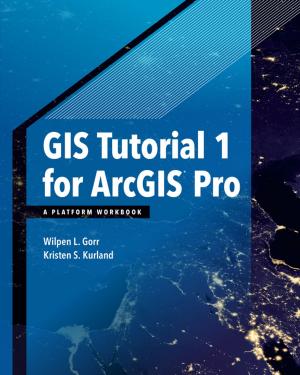
| Author: | Wilpen L. Gorr, Kristen S. Kurland | ISBN: | 9781589484641 |
| Publisher: | Esri Press | Publication: | April 6, 2016 |
| Imprint: | Esri Press | Language: | English |
| Author: | Wilpen L. Gorr, Kristen S. Kurland |
| ISBN: | 9781589484641 |
| Publisher: | Esri Press |
| Publication: | April 6, 2016 |
| Imprint: | Esri Press |
| Language: | English |
GIS Tutorial 1: Basic Workbook is a top-selling introductory text for learning ArcGIS 10.3.x for Desktop. The workbook presents GIS tools and functionality, including querying interactive maps, collecting data, and running geoprocessing tools. Incorporating proven teaching methods in detailed exercises, "Your Turn" sections, and homework assignments, this book is suited to learning GIS in a classroom. The latest edition includes a new chapter about analyzing street network data to solve routing and facility location problems using ArcGIS Network Analyst. Data for completing the exercises is available for download. Instructor resources are also available.
Note: This e-book requires ArcGIS software. You can download the ArcGIS Trial at http://www.esri.com/arcgis/trial, contact your school or business Esri Site License Administrator, or purchase a student or individual license through the Esri Store.


