Manila Street Atlas First Edition
Nonfiction, Reference & Language, Reference, Atlases, Travel, Asia, Southeast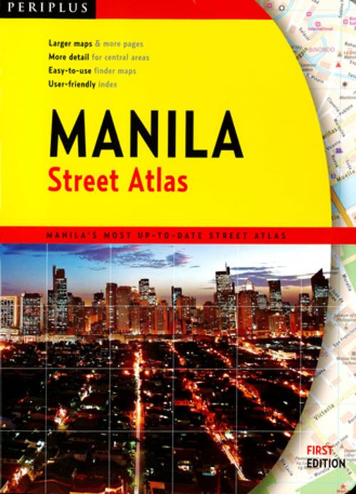
| Author: | ISBN: | 9781462909506 | |
| Publisher: | Tuttle Publishing | Publication: | July 15, 2014 |
| Imprint: | Periplus Editions | Language: | English |
| Author: | |
| ISBN: | 9781462909506 |
| Publisher: | Tuttle Publishing |
| Publication: | July 15, 2014 |
| Imprint: | Periplus Editions |
| Language: | English |
Finding your way around Metro Manila has never been easier!
This totally new street atlas from Periplus, Asia's leading book and map publisher, is designed to fit the needs of Metro Manila residents and visitors.
This is the first Metro Manila street atlas produced to exacting world class cartographic standards. Highly detailed city maps present information in a logical and clear way.
Roads are color–coded, with major arteries shown in orange, so you can find your way more quickly. Important buildings are identified by name and accurately located based on recent satellite imagery.
Key transport, business and recreational features are highlighted including expressways, bus terminals, car parks, shopping malls, office buildings, hotels, stadiums, embassies and consulates, government offices, places of worship, hospitals, libraries, police stations, schools, parks, theaters and golf courses.
Densely–packed central city areas are shown at 1:10,000 scale for detailed coverage of streets, buildings and city landmarks.
Other areas are shown at 1:40,000 scale to fit larger areas on each page and reduce page–flipping.
User–friendly indexes listing names of streets, places and buildings provide easy reference.